Explore Mars in 3D: Surface, Seasons and Its Sky
Start with Mars as a whole world, then follow a guided route to Olympus Mons and Valles Marineris. The app connects these landforms to their reference map and lets you explore the sky from a supported surface location. Images, terrain and simulated lighting each tell a different part of the story.
Explore Mars’s landscapes →Free in your browser · No account required · 3D view uses WebGL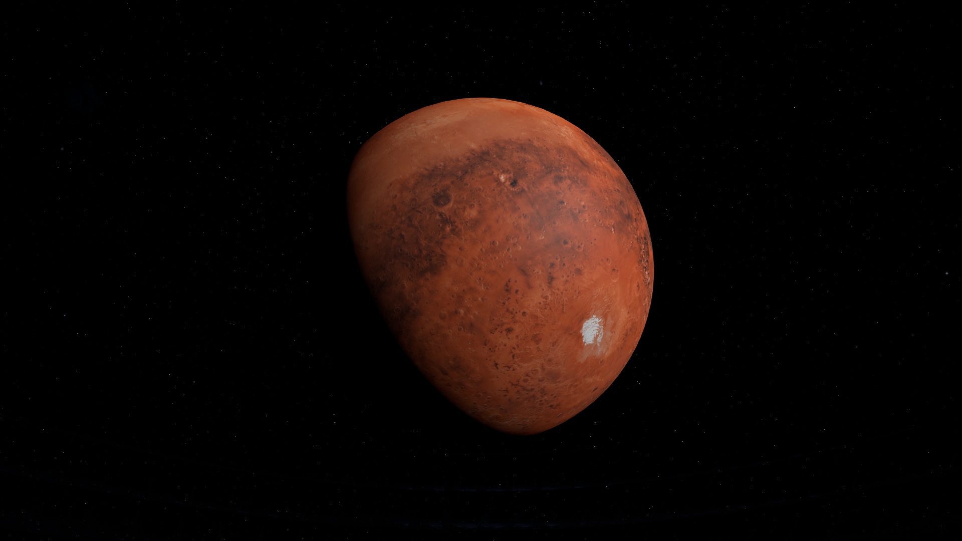
Try it in the app
- Open the Mars story to frame the globe and inspect the bright and dark surface regions.
- Follow the Olympus Mons and Valles Marineris steps. Compare the orbital view with the source map.
- Use Land at a supported site for Surface View. Read the terrain coverage before interpreting a slope or trying to travel farther.
On a phone, drag to change the view and pinch to zoom. If the 3D view cannot load on your device, the guide and its source links remain available here.
A map is not the same thing as terrain
A surface image supplies color and texture. Elevation measurements supply relief. A dark patch in an image can be a surface marking or a shadow already present in the observation; it does not, by itself, establish a slope. The app’s evidence notes identify the source and limitations of the displayed map.
Olympus Mons and Valles Marineris
These enormous volcanic and canyon landscapes are useful landmarks for learning your way around Mars. The guided story frames them in daylight so their context is easier to inspect. Changing the camera angle changes the rendering, not the underlying amount of measured terrain. Detail varies by dataset and location.
Seasons and the Martian sky
Mars has a tilted rotation axis, so sunlight changes with season. The simulation clock affects lighting and the sky above a chosen location. Once in Surface View, use the time controls to compare the sky and return to space when you want the wider geometry. Atmospheric appearance is a model, not a local weather report.
What the surface experience can establish
Supported landing sites use their registered terrain coverage. Where measurements are unavailable, the app identifies the reference surface rather than extending an invented landscape. The experience is useful for orientation, source comparison and sky geometry; it is not a rover navigation product or a claim to have photographed every viewpoint.
Sources and evidence
Guide by Point Dynamics. Reviewed 2026-09-23. Saved scene images illustrate the experience; they are not current observations.